
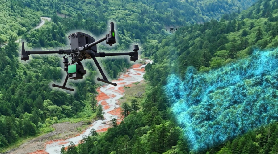
New in Our Offer: Precise 3D Terrain Analysis Using Drone Technology
Precise terrain analysis is one of the key stages in the preparation of a photovoltaic investment. In response to increasing design requirements and the need to reduce risks at the execution stage, Energy5 is introducing advanced 3D terrain analysis using drone technology to its offer.
Service Presentation at Solar Energy Expo 2026
During Solar Energy Expo 2026 in Nadarzyn (13–15 January 2026), visitors to the Energy5 stand F3.26 will have the opportunity to see the surveying drone used for 3D terrain analysis live and speak directly with an Energy5 expert responsible for delivering these analyses.
This will be an opportunity to discuss practical applications of the service, the scope of possible analyses, and its use in specific photovoltaic farm projects.
What Does 3D Drone Terrain Analysis Involve?
The service consists of acquiring spatial data through aerial surveys and processing it into an accurate 3D terrain model. Unlike traditional analyses based solely on maps or point measurements, this solution provides a full representation of the site’s topography, including real elevation differences.
The collected data serves as a reliable basis for design decisions already at the early stages of the investment.
Application in PV Projects
3D terrain analysis is directly applicable to:
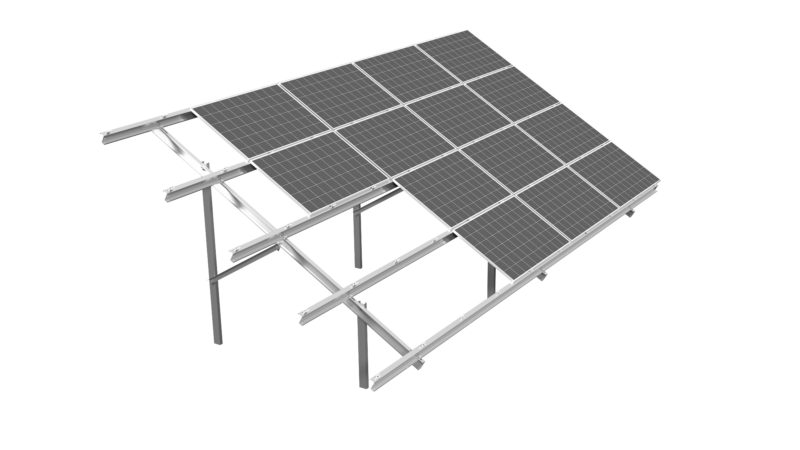
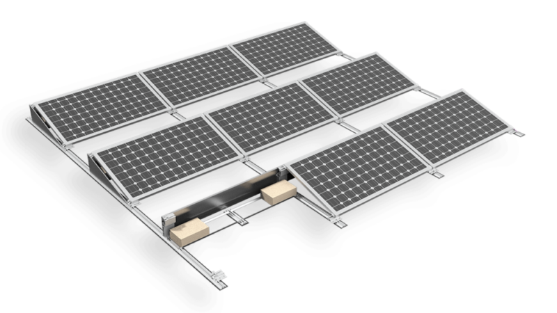
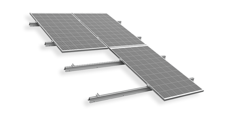
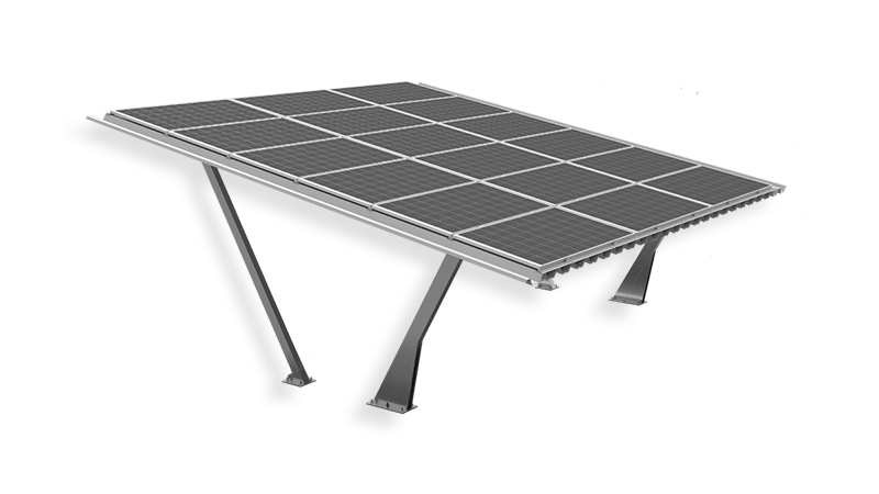
- assessing the feasibility of photovoltaic farms using FIX structures and tracker systems,
- planning land leveling and optimizing earthworks,
- precise selection of leg and post lengths for mounting structures,
- verification and optimization of tracker operating parameters, including 3D backtracking functions,
- inventory and monitoring of existing PV installations, including the assessment of potential structural settlement.
High Accuracy and Data Consistency
The analyses are carried out using RTK technology, ensuring centimeter-level positioning accuracy. The acquired data is processed using specialized software, enabling the creation of:
- 3D terrain models,
- point clouds,
- elevation maps and orthophotos.
These materials can be used both at the conceptual stage and in later phases of project development.
Added Value in the Energy5 Offer
A key differentiator of this service is its direct integration with Energy5 photovoltaic structure design. The 3D terrain analysis is not offered as a standalone surveying service, but as a tool supporting the selection and optimization of FIX systems and tracker solutions.
This allows for:
- reduced design and execution risks,
- improved investment cost control,
- increased predictability of project schedules.
Applications for Investors and EPC Companies
The service is addressed to:
- investors seeking reliable data to assess the feasibility of PV projects,
- developers and EPC companies implementing installations requiring high terrain accuracy,
- tracker-based projects where terrain topography is critical to system performance.
Part of a Comprehensive PV Investment Approach
The introduction of drone-based 3D terrain analysis strengthens Energy5’s role as a technological partner, supporting clients not only in the supply of photovoltaic structures but also throughout the investment preparation process.
Discover How 3D Terrain Analysis Can Improve Your Project
Would you like to learn more about this service or discuss the needs of your project?
Contact the Energy5 experts to receive tailored support.